


| basics |
Google Earth® allows creating KML files, that may be used to show point locations, line arrays, polygons or bitmaps on top of Google Earth´s satellite image surface.This is a very easy way of showing sample locations, "georeferencing" (or maybe google-earth-referencing, since the georeferencing of the GE satellite images is not always precise) a geological map or just showing a friend where you live or where the BBQ tonight will happen... |
|
| example GE screen | 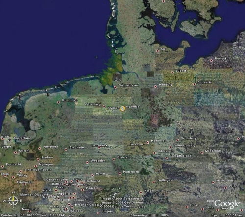
|
The
below file is an example of a small kml file to
display a standard placemark icon at a specific
place and center the GE view at a certain height
(range in m). The necessary kml-file elements are
marked in blue (tags)
and brown (user data) minimum kml file for placemarks multiple placemarks in one file defining buildings in a kml file fix
if kml-files from your server do not open in GE watch and play route in Google Earth fix
if Google Earth does not connect to server
|
| example
file myoffice.kml |
<?xml
version="1.0" encoding="UTF-8"?>
|
xml
declaration header
|
| tipps |
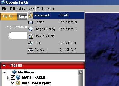
You can easily create such a file by using Google Earths Add - Placemark function or just click on the icon with the pin in the lower right. GE will put a Placemark in the center of your screen. You can grab it with the mouse and move it into the right place. You should also give it a short name. To save it, use File Save As.. I suggest to use .KML as a file format, since you can look at it in an editor, and easily see and understand how the KML syntax works. Often its easier to do some changes directly in the KMLfile.
|
|